Greenwich High Road end of South Street
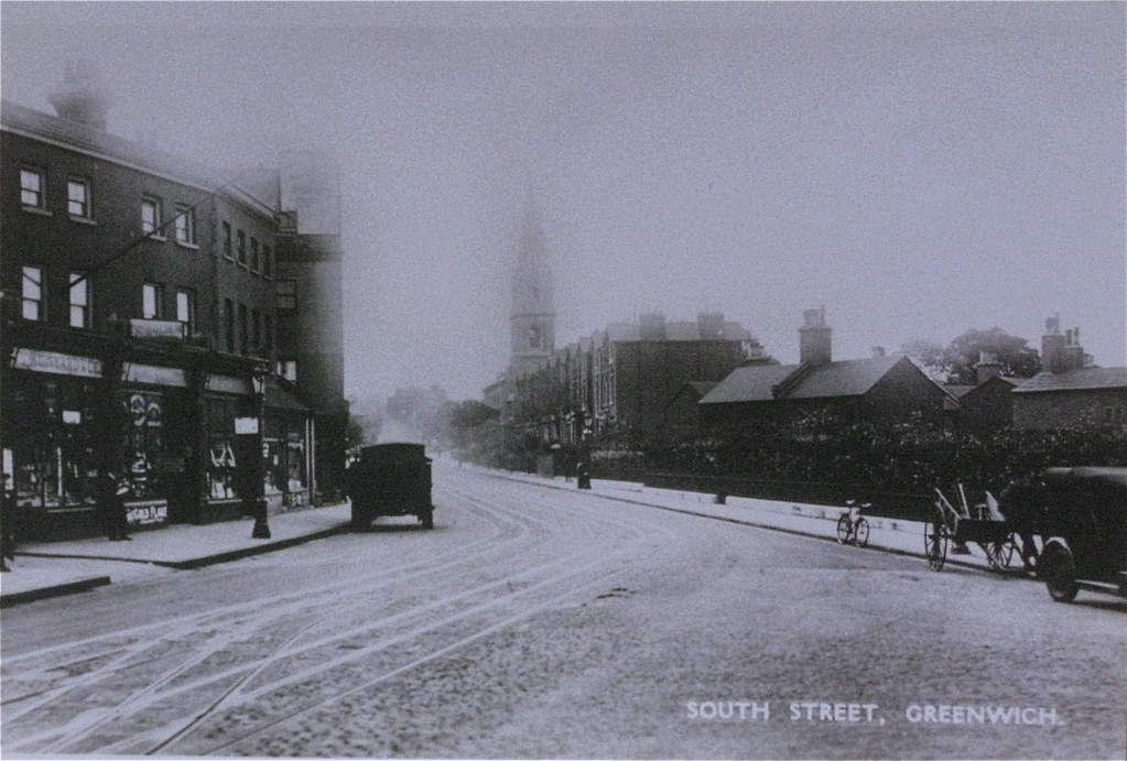
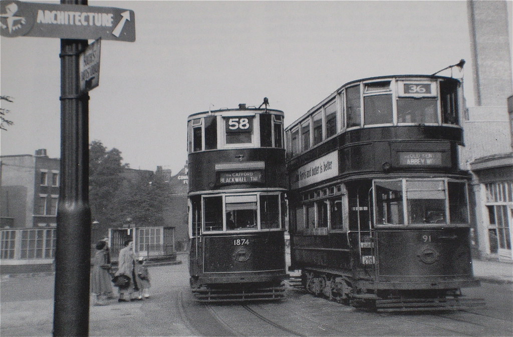
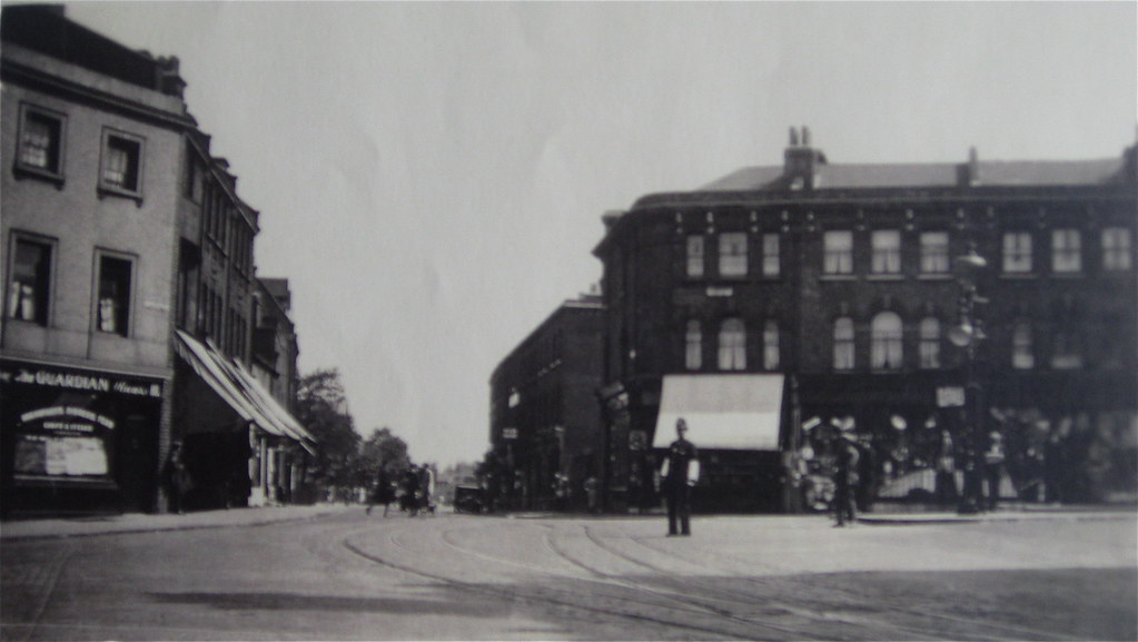
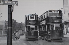
The 1st picture is an undated view looking up Greenwich South Street from the intersection with Greenwich High road. You can see the tower of the original church (St Mark's Presbyterian Church - built in 1850 and destroyed in WW2). This was replaced by the present United Reform church in 1953. The 2nd shot8 must be sometime around the time of the Festival of Britain as "Architecture" in the shot refers to the Lansbury Development at Poplar (part of the FoB and open between 3 May and 30 September 1951). 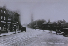
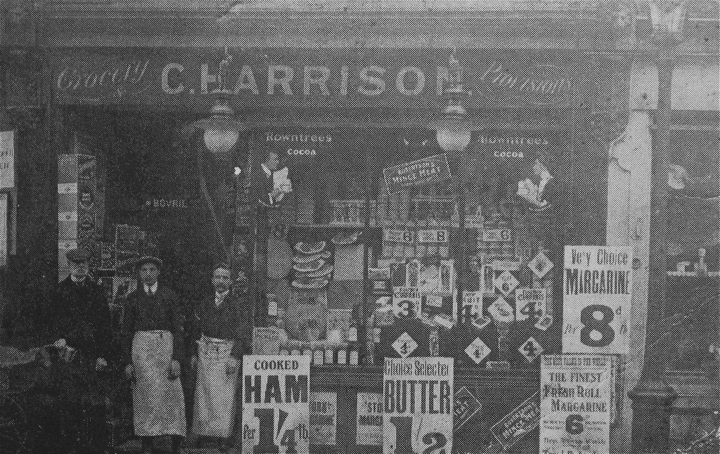
The next shot is 117 & 119 Greenwich South Street c1910
2. Pictured on the left is Charles Harrison, the manager of No.117 A. H. Hewlett (Alfred). No.119 is H. Hewlett's (Harry) domestic supply store. These two shops are described in Dianne Payne's book "A Greenwich Family 1906 - 1936" as being opposite Devonshire Road (now Drive). It also says the shops have now been converted to form part of the houses above. The 2nd shot is of Charles Harrison's own shop in 1912 at 137 South Street
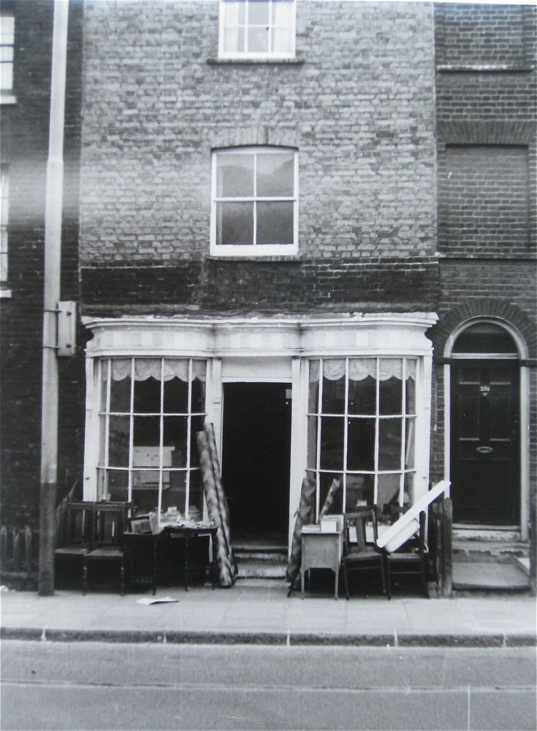
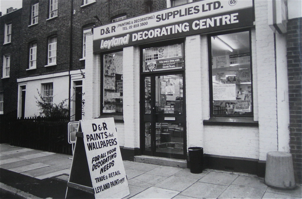
2. The 3rd shot shows Charles' expanded business, including No. 139. Taken in 1919. Is this the current day Vets and bookie (4th shot)?
Mid way down South Street
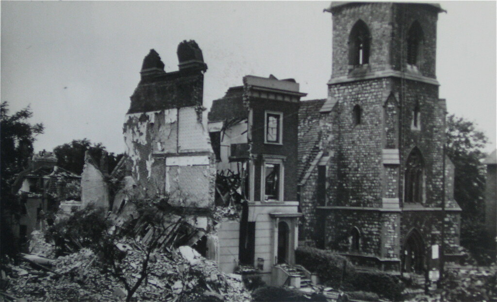
The next shot is a fantastic photo from the Greenwich Heritage Centre of the original St Mark's Presbyterian church and the adjacent terrace, called the Ashburnham Terrace (now Ada Kennedy Court). Is this picture from just after the WW2 bomb landed or is it showing the resultant demolition? The Church doesn't look too badly damaged in the picture. The 2nd shot8 was taken at the intersection of Blissett Street with Greenwich South Street. You can see Meridian House in the distance. I think the shot must be early 1940s. The 3rd shot is a modern day equivalent taken more or less at the same spot as the 2nd shot.
These last two shots are more modern pictures. Both undated.
Blackheath Road end of South Street
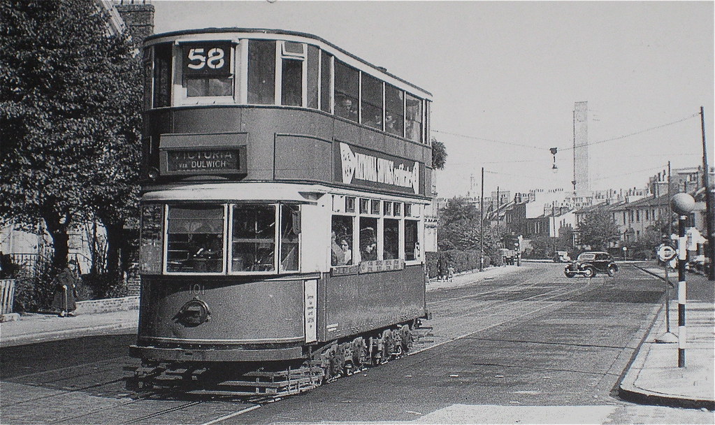
Both of the following undated shots3,8 are looking up towards South Street from the intersection at Blackheath Hill. The 1st is much earlier.
 Uploading ....